Black Canyon of the Gunnison United States

Parts of this steep, dark, narrow canyon only receive 33 minutes of daylight per day.
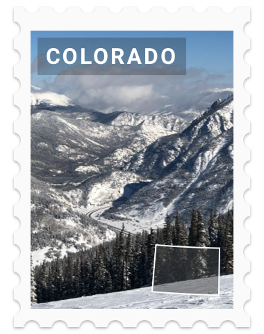
Photo by Jeff Hollett
Black Canyon of the Gunnison National Park is located in western Colorado and managed by the National Park Service. There are two primary entrances to the park: the south rim entrance is located near Montrose, while the north rim entrance is south of Crawford and is closed in the winter.
The park contains 12 miles of the 48-mile long Black Canyon of the Gunnison River. The national park itself contains the deepest and most dramatic section of the canyon, but the canyon continues upstream into Curecanti National Recreation Area and downstream into Gunnison Gorge National Conservation Area.
It's called Black Canyon because parts of the gorge only receive 33 minutes of sunlight a day, according to Images of America: The Black Canyon of the Gunnison. In the book, author Duane Vandenbusche states, "Several canyons of the American West are longer and some are deeper, but none combines the depth, sheerness, narrowness, darkness, and dread of the Black Canyon." At its narrowest point the canyon is only 40 ft (12 m) wide at the river.
The Gunnison River drops an average of 34 feet per mile (6.4 m/km) through the entire canyon, making it the 5th steepest mountain descent in North America. By comparison, the Colorado River drops an average of 7.5 feet per mile (1.42 m/km) through the Grand Canyon.
The greatest descent of the Gunnison River occurs within the park at Chasm View dropping 240 feet per mile (45 m/km).
The extreme steepness and depth of the Black Canyon formed as the result of several geologic processes acting together. The Gunnison River is primarily responsible for carving the canyon, though several other geologic events (volcanic activity and uplifting) had to occur in order to form the canyon as it is seen today.


XP EARNED OUT OF 0
Points Earned
| Stamp | 0 XP |
| Trivia Questions | 0 XP |
| Quests | 0 XP |
| Trading Card | 0 XP |
| Total | 0 XP |
Login to customize your picture from Black Canyon of the Gunnison.

Exploring Colorado